Geographic information systems or GIS has developed its roots strongest in today’s technology. No matter if it is forest management, social sciences, natural sciences, engineering or any other field.
However, the utility of GIS is not just limited to here but it has also reached remote sensing and processing technologies for images. At present, major technological platforms have embodied the whole scope received from GIS technology.
It always delivers the most precise and profitable methods for data analysis. The execution and analysis for field data have become comparatively easier with GIS through a number of possible ways.
GIS is dealing with the most complex issues at this time with absolute ease. Over the past few years, it has been excessively used for Major beneficial events.
It has also served crucial and detailed assistance regarding the resources and their planning and execution. The major sparks of GIS can be recently seen in resource Management where it has been done exceedingly well.
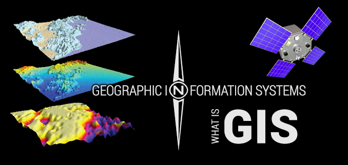
GIS: A Brief
GIS or geographic information system also provides the complete database for every equipment, instance, and operations storing them with the executable information. It is dynamically used for a better understanding of the world’s subfields, in brief, considering the geographical point of view.
It is very essential for you to know that GIS technology also enables the management and storage for the huge quantity of distributed data. Eventually, the different segments of distributed data are united with any of the specific geographic features.
GIS has the ability to manage variance in the data which occupies the same geographic location. In other words, we can sum up that GIS has the potential to analyze and record the actual connection between the linked data and their associated features.
There are several other instances that are generated with this analytical relationship. GIS technology comprises of the essential tools that analyzes the bunch of information. It also helps to edit, modify and transform the stock of queries in a presentable form considering their operations.
Basically, it is a science or technology which is underlying behind the whole concept of geography. GIS technology consists of several other processes and methodologies.
There are a number of different layers in the GIS architecture that helps the development of the connection between different aspects of geography. The places understanding its utility are strengthening the technology.
At present most of the Federal government around the Globe have shown their interest in this technology. Apart from that the non-government bodies and other organizations are also in the mainframe to share the specific needs.
What can you assume with GIS applications
GIS is not the only face of this revolutionary technology but GPS and RS technologies also playing their part although here we will shift our entire attention towards GIS in specific. GIS has the resistance to span a wide range of multiple applications waste over their degree of complexity and hierarchy.
As the sample applications require only the sampling site, examination for distributed data or maps of the field for analysis. On the other hand, complex applications rely on the analytical strength of GIS. In this article, we will take a close follow-up through the incredible applications of GIS technology in a number of different fields.
These covers almost every segment for better understanding. At present GIS is creating milestones in every possible sector. Take a look of below-mentioned fields specifically:
Considering the agricultural sector for
Precision farming- GIS helps you discover the most accurate farming methodology. Its focus is over the harvesting of bigger bushels per acre while comparatively spending a lesser amount.
Disease control- by detecting the control interventions and critical interventions, GIS helps to combat the spread of any harmful disease.
Plant hardiness- it detects the fertility of land having a close look through the boundaries.
Diagnosis for food demand- GIS presents an important role in the estimation of future news regarding the food supply and requirements for the population.
Water stress- it plays an analytical role in the water demand and water supply.
Irrigation and farm preservation- it helps in the analysis of the irrigation infrastructure of the fertile land and helps to counter the problem of water scarcity.
Considering the astronomical sector for
Mars Terrain- capture the data and images from the outer orbital layers of Mars.
Mars rover landing- examine the operational criteria regarding the landing of the Mars rover.
Satellite orbits- efficiently programs variant satellites considering the image acquisitions.
Astrogeology- it also provides the planetary movement to the scientific headquarters present under the public domain.
Considering the archaeological sector for
The Lost cities- it has helped to reveal a number of lost cities on the land and their completely forgotten history.
Geographical text analysis- it incorporates exploration for the text that is written in large format by combining the natural language processing techniques in a semi-automated exploration.
Archaeological survey- the major problem which archaeologists have to face every day is to detect the active locations. Through GIS they can know the excitative outcomes.
Cultural heritage inventory- GIS help to customize the collection of cultural folds of ancient history. It also utilizes the open source hospital software for it.
Considering the architecture sector for
Exposure of noise- it orchestrates the mobility plants with the consideration that what impact it will create.
Photo developmental planning- it depicts the floor plan for active development and creates it under the big picture.
Solar exposure- GIS helps to utilize solar exposure by installing the solar panels having the most advanced 3D City models.
Space utilization- it is a most advanced and highly defined algorithm for space utilization.
Considering the aviation for
Live air traffic- it has the Flight Radar to turn the computer into an effective traffic controller station.
Identification of plane– through it mobile phones can be directly appointed to the sky and airplane can be detected
Flight path- it integrates the elevation data of the plane and simulates the path
Aeronautical charts- it helps to scout the better roots with marginal audit tools and safe navigation with the help of aeronautical charts.
Considering the automobile sector for
Vehicle crowdsourcing- it supports the association of advanced technology with a hyper-precise feature for the vehicle’s camera and GPS.
In-vehicle use- it helps to monitor the trades with anyone’s driving or random speed and acceleration or being hard over the brakes.
Self-driving vehicles- it has enabled the autonomous driving feature working up-to-date with the GPS, LiDAR, inertial units, and specific software.
Estimated traveling time- it had enabled the people to know the exact location and time to get there by taking a close to following up.
Considering the banking sector for
Market share- branch locations, competitive associates and other demographic features are identified.
ATM machines- the space is determined considering the customers, facilities and other potential competitors.
Supply and demand- it helps to understand the areas which are underserved and you can learn where you have to work hard.
Considering the business and e-commerce sectors for
Fleet management- it helps to stay in schedule and follow the root by solving the hurdles in fleet management.
Direct marketing- it rejuvenates the sales strategies by spreading its word to the audience and reaching out to all the potential clients.
Analysis of the drive time- it also analyzes the time that the customer requires to reach the office or store by following the speed, traffic, and other factors.
The final thoughts about GIS
There is more complexity around us than ever before because of the major factors. In this run, efficient and reliable technology can play a central role for us. With the advancement in technology, many fields will get an opportunity for real-time data allowance and sharing.
We have summed the actual evidence in this article. It has also created transparency with this technology and its important features. For resource Management and analytical data execution, GIS is an aid.
But we will stop the discussion by accepting that GIS is incredibly important for today’s world in every aspect.